2010
NY8047 : Converted Farmhouse, Carrshield
taken 14 years ago, near to Carr Shield, Northumberland, England
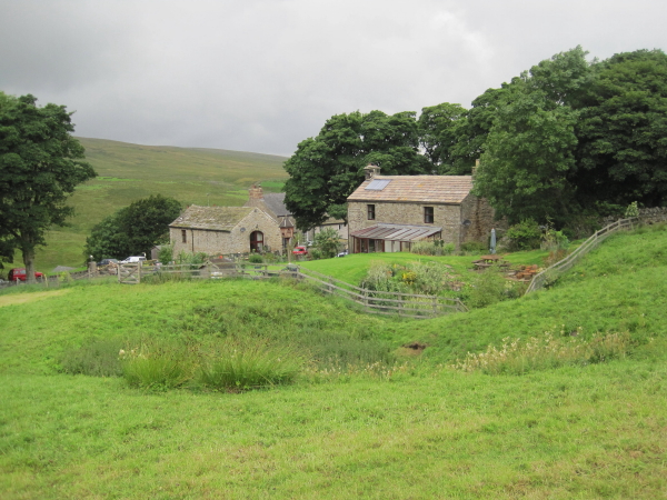
Converted Farmhouse, Carrshield
11th August 2010: As we came to the end of our walk we stopped and passed the time of day with an elderly man who was tending his garden which he obviously took great pride in. He asked where we had walked from and to and seemed impressed. During our conversation his house phone began to ring and he said he must answer and added if youre back this way call in for a coffee. He waved and went into the house.
4th August 2011: I was playing a golf match at Allendale Golf Club and one of the pair we were playing against said he lived in Carrshield. I have a long association with Carrshield having taken school groups there for field work at the old school, which became a field study centre. I also mentioned our walk the previous year and talking to an elderly man in his garden, describing its location. That must have been me John Hill replied but I cant remember our conversation!
Obviously we made a big impression.
 Map © Crown Copyright")
TIP: Click the map for more Large scale mapping
- Grid Square
- NY8047, 40 images (more nearby 🔍)
- Photographer
- Les Hull (more nearby)
- Date Taken
- Wednesday, 11 August, 2010 (more nearby)
- Submitted
- Tuesday, 17 August, 2010
- Subject Location
-
OSGB36:
 NY 803 475 [100m precision]
WGS84: 54:49.3335N 2:18.4409W - Camera Location
-
OSGB36: NY 804 474
- View Direction
- Northwest (about 315 degrees)