2005
SP7427 : Disused Railway Lines
taken 19 years ago, near to Addington, Buckinghamshire, England
Disused Railway Lines
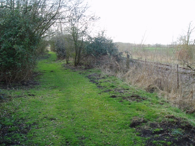
Here, the course of the Quainton Road to Verney Junction branch (now lifted) can be seen running in parallel with the main line railway (now also disused) just outside Verney Junction station.
 Map © Crown Copyright")
TIP: Click the map for more Large scale mapping
- Grid Square
- SP7427, 26 images (more nearby 🔍)
- Photographer
- Hywel Williams (more nearby)
- Date Taken
- Friday, 25 March, 2005 (more nearby)
- Submitted
- Monday, 20 June, 2005
- Subject Location
-
OSGB36:
 SP 741 274 [100m precision]
WGS84: 51:56.4107N 0:55.4089W - Camera Location
-
OSGB36: SP 742 274
- View Direction
- West-northwest (about 292 degrees)