2010
NU1100 : A shed, or is it a Hut?
taken 14 years ago, near to Pauperhaugh, Northumberland, England
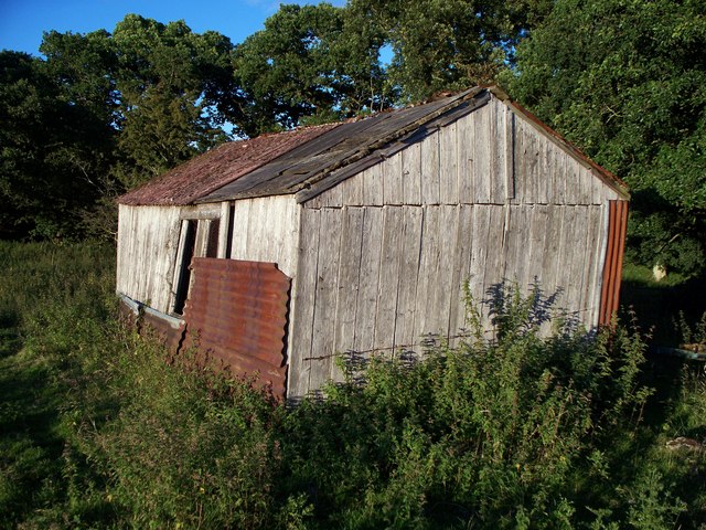
A shed, or is it a Hut?
An agricultural building at Healey Cote farm on land in the vicinity of the position of the old Healey Cote coal mine.
 Map © Crown Copyright")
TIP: Click the map for more Large scale mapping
- Grid Square
- NU1100, 12 images (more nearby 🔍)
- Photographer
- David Clark (more nearby)
- Date Taken
- Wednesday, 18 August, 2010 (more nearby)
- Submitted
- Thursday, 19 August, 2010
- Subject Location
-
OSGB36:
 NU 112 006 [100m precision]
WGS84: 55:17.9735N 1:49.4711W - Camera Location
-
OSGB36: NU 112 006
- View Direction
- EAST (about 90 degrees)