2010
ST6163 : 2010 : North east from Wick Lane
taken 14 years ago, near to Pensford, Bath And North East Somerset, England
2010 : North east from Wick Lane
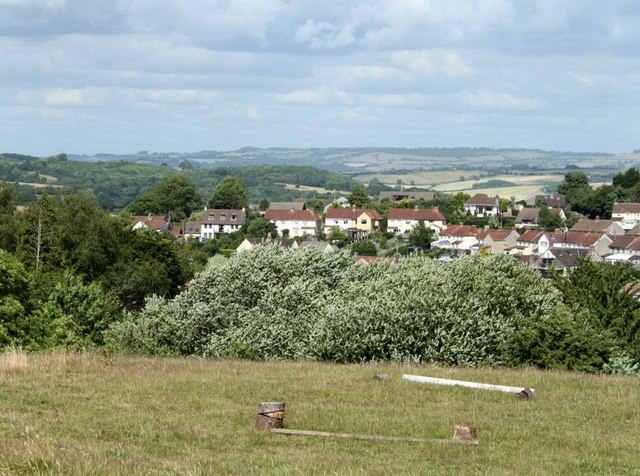
A field apparently used for exercising horses, then a view of part of Pensford.
Lansdown near Bath is on the horizon.
Lansdown near Bath is on the horizon.
 Map © Crown Copyright")
TIP: Click the map for more Large scale mapping
- Grid Square
- ST6163, 129 images (more nearby 🔍)
- Photographer
- Maurice Pullin (more nearby)
- Date Taken
- Monday, 5 July, 2010 (more nearby)
- Submitted
- Saturday, 21 August, 2010
- Subject Location
-
OSGB36:
 ST 618 632 [100m precision]
WGS84: 51:22.0104N 2:32.9892W - Camera Location
-
OSGB36: ST 616 631
- View Direction
- East-northeast (about 67 degrees)