2010
SE7647 : Bridleway through Tank Plantation
taken 14 years ago, near to Allerthorpe, East Riding of Yorkshire, England
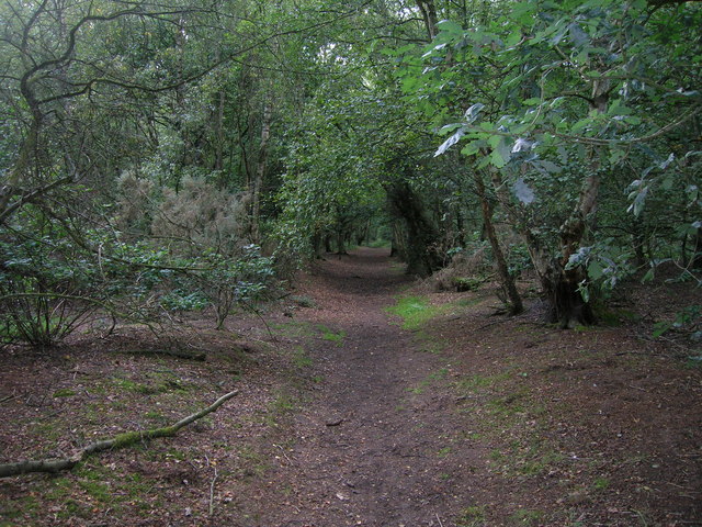
Bridleway through Tank Plantation
 Map © Crown Copyright")
TIP: Click the map for more Large scale mapping
- Grid Square
- SE7647, 28 images (more nearby 🔍)
- Photographer
- JThomas (more nearby)
- Date Taken
- Friday, 27 August, 2010 (more nearby)
- Submitted
- Saturday, 28 August, 2010
- Subject Location
-
OSGB36:
 SE 769 474 [100m precision]
WGS84: 53:55.0552N 0:49.8389W - Camera Location
-
OSGB36: SE 769 474
- View Direction
- WEST (about 270 degrees)