2006
SO9374 : Monarch's Way
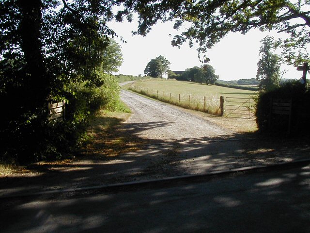
taken 18 years ago, near to Bournheath, Worcestershire, England
Monarch's Way
The drive is part of Monarch's Way Link a well known foot and bridle path, but the farmhouse is now a private dwelling and not a working farm.
 Map © Crown Copyright")
TIP: Click the map for more Large scale mapping
- Grid Square
- SO9374, 14 images (more nearby 🔍)
- Photographer
- Martin Wilson (more nearby)
- Date Taken
- Sunday, 16 July, 2006 (more nearby)
- Submitted
- Tuesday, 18 July, 2006
- Subject Location
-
OSGB36:
 SO 938 743 [100m precision]
WGS84: 52:22.0029N 2:5.5488W - Camera Location
-
OSGB36: SO 938 744
- View Direction
- South-southwest (about 202 degrees)