2006
TL2940 : High Farm
taken 18 years ago, near to Steeple Morden, Cambridgeshire, England
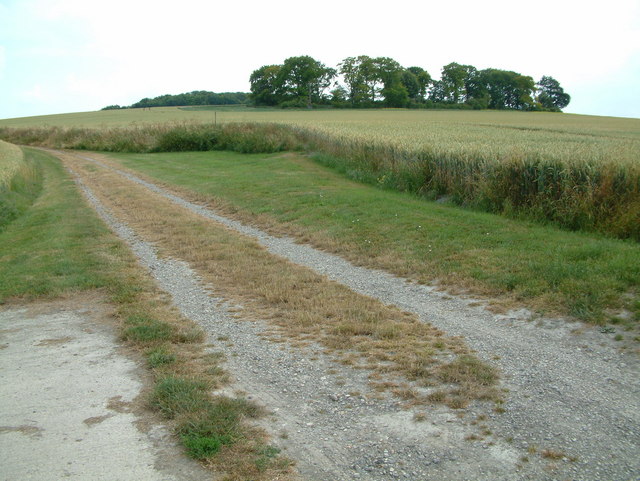
High Farm
This is a track up to Chalk Pit from High Farm.
 Map © Crown Copyright")
TIP: Click the map for more Large scale mapping
- Grid Square
- TL2940, 37 images (more nearby 🔍)
- Photographer
- Stuart Buchan (more nearby)
- Date Taken
- Thursday, 6 July, 2006 (more nearby)
- Submitted
- Tuesday, 18 July, 2006
- Subject Location
-
OSGB36:
 TL 295 407 [100m precision]
WGS84: 52:2.9741N 0:6.7760W - Camera Location
-
OSGB36: TL 295 408
- View Direction
- Southeast (about 135 degrees)