2010
SU7994 : The A40 to Old Dashwood Hill
taken 14 years ago, near to Beacon's Bottom, Buckinghamshire, England
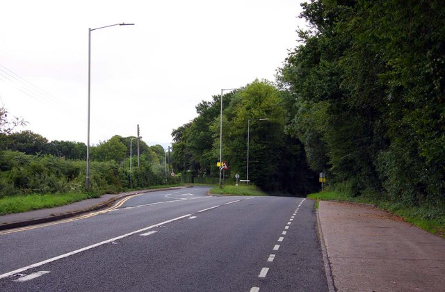
The A40 to Old Dashwood Hill
 Map © Crown Copyright")
TIP: Click the map for more Large scale mapping
- Grid Square
- SU7994, 15 images (more nearby 🔍)
- Photographer
- Steve Daniels (more nearby)
- Date Taken
- Saturday, 21 August, 2010 (more nearby)
- Submitted
- Wednesday, 1 September, 2010
- Subject Location
-
OSGB36:
 SU 793 949 [100m precision]
WGS84: 51:38.8712N 0:51.3156W - Camera Location
-
OSGB36: SU 792 950
- View Direction
- East-southeast (about 112 degrees)