2010
NS2499 : Felled area, Guananmore
taken 14 years ago, 3 km from Glenmallan, Argyll And Bute, Scotland
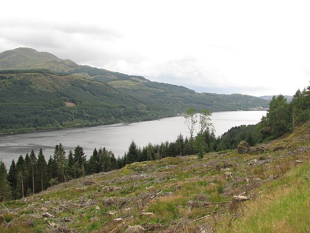
Felled area, Guananmore
Harvesting has revealed a view of Loch Long and the ruins of Guananmore.
 Map © Crown Copyright")
TIP: Click the map for more Large scale mapping
- Grid Square
- NS2499, 16 images (more nearby 🔍)
- Photographer
- Richard Webb (more nearby)
- Date Taken
- Saturday, 28 August, 2010 (more nearby)
- Submitted
- Saturday, 4 September, 2010
- Subject Location
-
OSGB36:
 NS 249 993 [100m precision]
WGS84: 56:9.2978N 4:49.1878W - Camera Location
-
OSGB36: NS 249 994
- View Direction
- South-southeast (about 157 degrees)