2006
SO5774 : Knowbury
taken 18 years ago, near to Knowbury, Shropshire, England
This is 1 of 2 images, with title Knowbury in this square
Knowbury
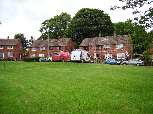
1950s houses around the green in the scattered village of Knowbury on the slopes of Clee Hill.
Celebrating national humiliation at the 2006 World Cup. The England team fulfilled realistic expectations with results, being unbeaten quarterfinalists , but made few friends with their boring and unenterprising style of football.
It is now the fashion to cover your house and van (usually white) with flags during football tournaments. Next time !!!!
---
Update - "Next time" 2010, England were simply awful. The overpaid are not expected to do too well in Brazil this year which could be a good omen.
 Map © Crown Copyright")
TIP: Click the map for more Large scale mapping
- Grid Square
- SO5774, 40 images (more nearby 🔍)
- Photographer
- Richard Webb (more nearby)
- Date Taken
- Wednesday, 21 June, 2006 (more nearby)
- Submitted
- Thursday, 20 July, 2006
- Subject Location
-
OSGB36:
 SO 575 747 [100m precision]
WGS84: 52:22.1214N 2:37.5377W - View Direction
- EAST (about 90 degrees)