2010
TQ0045 : Tanyard Lane Bridge
taken 14 years ago, near to Bramley, Surrey, England
This is 1 of 2 images, with title Tanyard Lane Bridge in this square
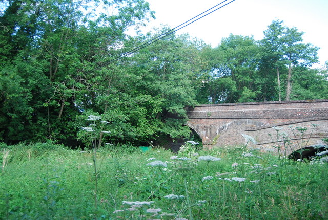
Tanyard Lane Bridge
The Wey and Arun Canal is a 23-mile-long canal in the south of England, between the River Wey at Shalford, Surrey and the River Arun at Pallingham, in West Sussex.
Passing through a rural landscape, there was little freight traffic to justify its continued existence, and the canal was officially abandoned in 1871.
Without maintenance, the canal gradually became derelict over much of its length. However, since 1970, active restoration by The Wey & Arun Canal Trust has resulted in several miles of the waterway being restored to navigable standard. Work is continuing, with the ultimate aim of re-opening the entire canal to navigation.
Link
Part of the River Wey navigations. Link Link
See other images of Wey and Arun Canal
Passing through a rural landscape, there was little freight traffic to justify its continued existence, and the canal was officially abandoned in 1871.
Without maintenance, the canal gradually became derelict over much of its length. However, since 1970, active restoration by The Wey & Arun Canal Trust has resulted in several miles of the waterway being restored to navigable standard. Work is continuing, with the ultimate aim of re-opening the entire canal to navigation.
Link
Part of the River Wey navigations. Link
See other images of Wey and Arun Canal
 Map © Crown Copyright")
TIP: Click the map for more Large scale mapping
- Grid Square
- TQ0045, 141 images (more nearby 🔍)
- Photographer
- N Chadwick (more nearby)
- Date Taken
- Sunday, 4 July, 2010 (more nearby)
- Submitted
- Sunday, 12 September, 2010
- Subject Location
-
OSGB36:
 TQ 005 456 [100m precision]
WGS84: 51:12.0791N 0:33.7490W - Camera Location
-
OSGB36: TQ 005 456
- View Direction
- West-northwest (about 292 degrees)