2006
NT6366 : Herring Road
taken 18 years ago, near to Johnscleugh [other Features], East Lothian, Great Britain
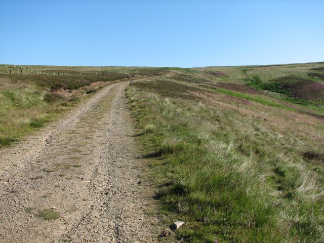
Herring Road
Used for transporting fish, this road originally led to Dunbar, now in use as a service road for the nearby pylons.
 Map © Crown Copyright")
TIP: Click the map for more Large scale mapping
- Grid Square
- NT6366, 23 images (more nearby 🔍)
- Photographer
- Callum Black (more nearby)
- Date Taken
- Saturday, 15 July, 2006 (more nearby)
- Submitted
- Saturday, 22 July, 2006
- Subject Location
-
OSGB36:
 NT 639 661 [100m precision]
WGS84: 55:53.2008N 2:34.7218W - View Direction
- NORTH (about 0 degrees)