2006
SU1927 : Common Plantation, Alderbury
taken 18 years ago, near to Alderbury, Wiltshire, England
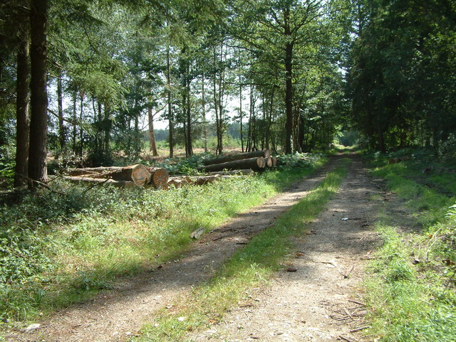
Common Plantation, Alderbury
A small plantation to the east of Alderbury.
 Map © Crown Copyright")
TIP: Click the map for more Large scale mapping
- Grid Square
- SU1927, 11 images (more nearby 🔍)
- Photographer
- Stuart Buchan (more nearby)
- Date Taken
- Thursday, 20 July, 2006 (more nearby)
- Submitted
- Saturday, 22 July, 2006
- Subject Location
-
OSGB36:
 SU 198 278 [100m precision]
WGS84: 51:2.9526N 1:43.1347W - Camera Location
-
OSGB36: SU 199 279
- View Direction
- South-southwest (about 202 degrees)