2006
SU2130 : Farm Track, South of Pitton
taken 18 years ago, near to Pitton, Wiltshire, England
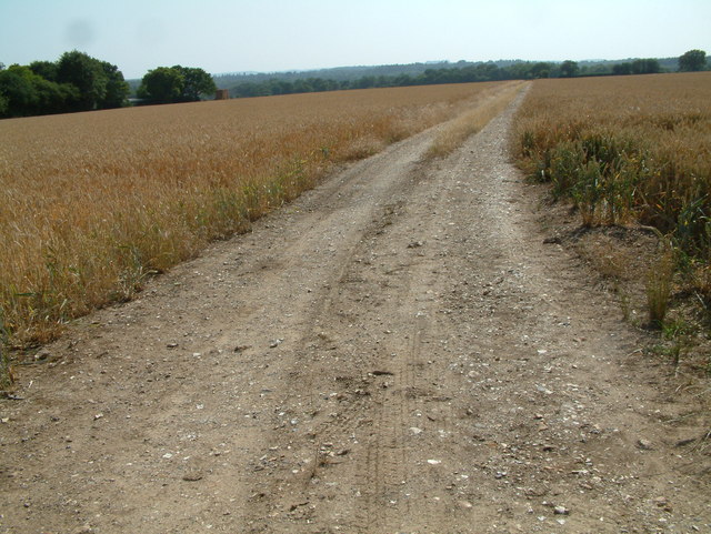
Farm Track, South of Pitton
Arable land with farm track heading west.
 Map © Crown Copyright")
TIP: Click the map for more Large scale mapping
- Grid Square
- SU2130, 7 images (more nearby 🔍)
- Photographer
- Stuart Buchan (more nearby)
- Date Taken
- Thursday, 20 July, 2006 (more nearby)
- Submitted
- Saturday, 22 July, 2006
- Subject Location
-
OSGB36:
 SU 214 304 [100m precision]
WGS84: 51:4.3520N 1:41.7560W - Camera Location
-
OSGB36: SU 216 305
- View Direction
- Southwest (about 225 degrees)