2010
ND0439 : Ford on the stalker's path to Ben Alisky
taken 14 years ago, near to Ben Alisky [hill or Mountain], Highland, Great Britain
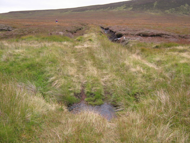
Ford on the stalker's path to Ben Alisky
A ford across the Allt Bad na Capuill burn (Note the ancient tree root eroding out of the peat in the middle distance).
 Map © Crown Copyright")
TIP: Click the map for more Large scale mapping
- Grid Square
- ND0439, 3 images (more nearby 🔍)
- Photographer
- Paul Simonite (more nearby)
- Date Taken
- Sunday, 19 September, 2010 (more nearby)
- Submitted
- Sunday, 19 September, 2010
- Subject Location
-
OSGB36:
 ND 042 397 [100m precision]
WGS84: 58:20.1253N 3:38.2274W - Camera Location
-
OSGB36: ND 042 397
- View Direction
- East-southeast (about 112 degrees)