2010
NR8391 : Footpath to Cairnbaan
taken 14 years ago, near to Cairnbaan, Argyll And Bute, Scotland
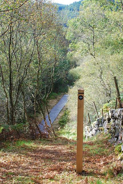
Footpath to Cairnbaan
The Heritage Access Network includes a series of new paths that link other routes in the Kilmartin Glen area to form a wider network of paths through area of the Dalriada Project. The routes were completed in 2010. The routes are signposted and equipped with interpretation boards.
See other images of Dalriada Project Heritage Access Network
See other images of Dalriada Project Heritage Access Network
 Map © Crown Copyright")
TIP: Click the map for more Large scale mapping
- Grid Square
- NR8391, 15 images (more nearby 🔍)
- Photographer
- Patrick Mackie (more nearby)
- Date Taken
- Saturday, 25 September, 2010 (more nearby)
- Submitted
- Saturday, 25 September, 2010
- Subject Location
-
OSGB36:
 NR 831 919 [100m precision]
WGS84: 56:4.2358N 5:29.1839W - Camera Location
-
OSGB36: NR 831 919
- View Direction
- Southwest (about 225 degrees)