2005
SU5175 : Farmland near Eling
taken 19 years ago, near to Hampstead Norreys, West Berkshire, England
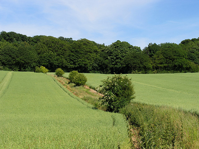
Farmland near Eling
This field of wheat is in the south eastern section of the square looking uphill towards Eling Copse.
 Map © Crown Copyright")
TIP: Click the map for more Large scale mapping
- Grid Square
- SU5175, 31 images (more nearby 🔍)
- Photographer
- Pam Brophy (more nearby)
- Date Taken
- Wednesday, 22 June, 2005 (more nearby)
- Submitted
- Wednesday, 22 June, 2005
- Subject Location
-
OSGB36:
 SU 51639 75170 [1m precision]
WGS84: 51:28.3887N 1:15.4742W