2006
SK7601 : Midshires Way
taken 18 years ago, near to Tugby, Leicestershire, England
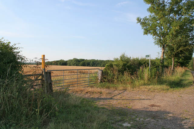
Midshires Way
This long distance footpath joins Wood Lane right in the centre of the square. This view is looking NW.
 Map © Crown Copyright")
TIP: Click the map for more Large scale mapping
- Grid Square
- SK7601, 41 images (more nearby 🔍)
- Photographer
- Kate Jewell (more nearby)
- Date Taken
- Monday, 24 July, 2006 (more nearby)
- Submitted
- Tuesday, 25 July, 2006
- Subject Location
-
OSGB36:
 SK 764 017 [100m precision]
WGS84: 52:36.4901N 0:52.3927W - Camera Location
-
OSGB36: SK 765 016
- View Direction
- Northwest (about 315 degrees)