2006
SK7700 : Farmland near Tugby
taken 18 years ago, near to East Norton, Leicestershire, England
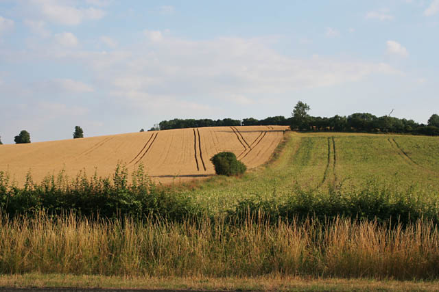
Farmland near Tugby
Looking south from the A47. The wood at the top of the hill is Ram's Head Spinney.
 Map © Crown Copyright")
TIP: Click the map for more Large scale mapping
- Grid Square
- SK7700, 15 images (more nearby 🔍)
- Photographer
- Kate Jewell (more nearby)
- Date Taken
- Monday, 24 July, 2006 (more nearby)
- Submitted
- Tuesday, 25 July, 2006
- Subject Location
-
OSGB36:
 SK 778 000 [100m precision]
WGS84: 52:35.5826N 0:51.1405W - Camera Location
-
OSGB36: SK 778 004
- View Direction
- SOUTH (about 180 degrees)