2006
SP7164 : Forestry Track
taken 18 years ago, near to Harlestone, West Northamptonshire, England
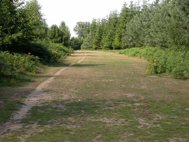
Forestry Track
A way cleared through Harlestone Heath.
 Map © Crown Copyright")
TIP: Click the map for more Large scale mapping
- Grid Square
- SP7164, 29 images (more nearby 🔍)
- Photographer
- Kokai (more nearby)
- Date Taken
- Wednesday, 19 July, 2006 (more nearby)
- Submitted
- Tuesday, 25 July, 2006
- Subject Location
-
OSGB36:
 SP 717 642 [100m precision]
WGS84: 52:16.2774N 0:57.0392W - Camera Location
-
OSGB36: SP 71706 64165
- View Direction
- North-northeast (about 22 degrees)