2010
SE8957 : Permissive Path
taken 14 years ago, 3 km from Huggate, East Riding of Yorkshire, England
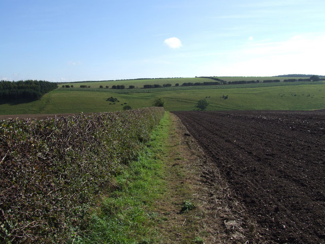
Permissive Path
Permissive path down to Rabbit Dale north east of Northfield House Huggate
 Map © Crown Copyright")
TIP: Click the map for more Large scale mapping
- Grid Square
- SE8957, 43 images (more nearby 🔍)
- Photographer
- Keith Laverack (more nearby)
- Date Taken
- Thursday, 30 September, 2010 (more nearby)
- Submitted
- Friday, 1 October, 2010
- Subject Location
-
OSGB36:
 SE 896 570 [100m precision]
WGS84: 54:0.1242N 0:38.0436W - Camera Location
-
OSGB36: SE 894 572
- View Direction
- Southeast (about 135 degrees)