2010
TR1377 : Kentish Bank Wind Farm
taken 14 years ago, 10 km N of Swalecliffe, Kent, England
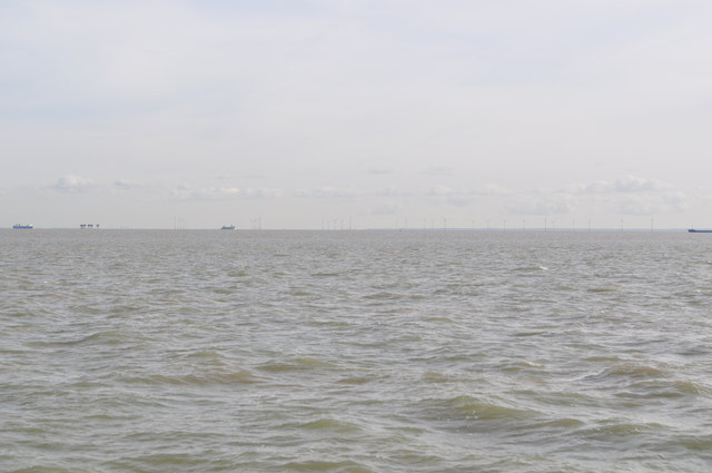
Kentish Bank Wind Farm
Not very clear but the view shows the 30 turbine wind farm along with an army sea fort to the left. Also the ferries going in and out of the Thames estuary.
See also TR1382 : Shivering Sands Maunsell Army Fort. Taken from near Maplin sands.
See also TR1382 : Shivering Sands Maunsell Army Fort. Taken from near Maplin sands.
 Map © Crown Copyright")
TIP: Click the map for more Large scale mapping
- Grid Square
- TR1377, 2 images (more nearby 🔍)
- Photographer
- Ashley Dace (more nearby)
- Date Taken
- Thursday, 30 September, 2010 (more nearby)
- Submitted
- Friday, 1 October, 2010
- Subject Location
-
OSGB36:
 TR 134 774 [100m precision]
WGS84: 51:27.3461N 1:4.2661E