2006
SH3233 : Farmland near Wern Fawr
taken 18 years ago, near to Llanbedrog, Gwynedd, Wales
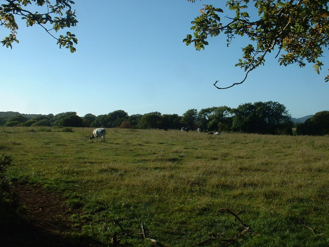
Farmland near Wern Fawr
Looking north west.
 Map © Crown Copyright")
TIP: Click the map for more Large scale mapping
- Grid Square
- SH3233, 13 images (more nearby 🔍)
- Photographer
- David Medcalf (more nearby)
- Date Taken
- Thursday, 13 July, 2006 (more nearby)
- Submitted
- Saturday, 29 July, 2006
- Subject Location
-
OSGB36:
 SH 320 332 [100m precision]
WGS84: 52:52.1986N 4:29.8459W - Camera Location
-
OSGB36: SH 321 332
- View Direction
- West-southwest (about 247 degrees)