2010
NR7373 : An Dùn, Ormsary
taken 14 years ago, near to Ormsary, Argyll And Bute, Scotland
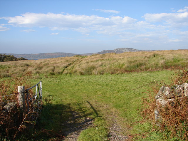
An Dùn, Ormsary
View from unclassified road north of Ormsary in Knapdale South of the fields of An Dùn. In the distance across Loch Caolisport are the hills of Knapdale North.
 Map © Crown Copyright")
TIP: Click the map for more Large scale mapping
- Grid Square
- NR7373, 5 images (more nearby 🔍)
- Photographer
- Chris Newman (more nearby)
- Date Taken
- Saturday, 9 October, 2010 (more nearby)
- Submitted
- Tuesday, 12 October, 2010
- Subject Location
-
OSGB36:
 NR 738 730 [100m precision]
WGS84: 55:53.8477N 5:37.1508W - Camera Location
-
OSGB36: NR 739 730
- View Direction
- West-northwest (about 292 degrees)