2009
TM1735 : Holbrook's former estuary
taken 14 years ago, near to Lower Holbrook, Suffolk, England
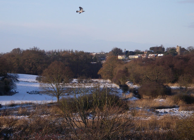
Holbrook's former estuary
This area was tidal until the embankment at Holbrook Creek was built.
 Map © Crown Copyright")
TIP: Click the map for more Large scale mapping
- Grid Square
- TM1735, 50 images (more nearby 🔍)
- Photographer
- Simon Leatherdale (more nearby)
- Date Taken
- Sunday, 20 December, 2009 (more nearby)
- Submitted
- Tuesday, 12 October, 2010
- Subject Location
-
OSGB36:
 TM 173 353 [100m precision]
WGS84: 51:58.4677N 1:9.7609E - Camera Location
-
OSGB36: TM 177 348
- View Direction
- Northwest (about 315 degrees)