2010
SD5113 : Public footpath signs off Sanderson Lane
taken 14 years ago, near to Wrightington Bar, Lancashire, England
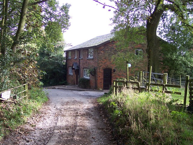
Public footpath signs off Sanderson Lane
The location is called Dwerry House and paths lead to Horrock Hill and Wrightington
 Map © Crown Copyright")
TIP: Click the map for more Large scale mapping
- Grid Square
- SD5113, 26 images (more nearby 🔍)
- Photographer
- Raymond Knapman (more nearby)
- Date Taken
- Wednesday, 13 October, 2010 (more nearby)
- Submitted
- Thursday, 14 October, 2010
- Subject Location
-
OSGB36:
 SD 515 133 [100m precision]
WGS84: 53:36.8615N 2:43.9942W - Camera Location
-
OSGB36: SD 515 133
- View Direction
- East-northeast (about 67 degrees)