2010
SD3586 : The path to Tom Crag?
taken 14 years ago, near to Newby Bridge, Cumbria, England
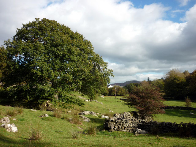
The path to Tom Crag?
Although signed at this end where it leaves the road, there was no trace of its other end at Tom Crag (Town End) visible beyond the trees. Indeed, the map seems to suggest that it does not quite connect with the footpath there. Or are the local residents being naughty?
 Map © Crown Copyright")
TIP: Click the map for more Large scale mapping
- Grid Square
- SD3586, 15 images (more nearby 🔍)
- Photographer
- Karl and Ali (more nearby)
- Date Taken
- Saturday, 16 October, 2010 (more nearby)
- Submitted
- Saturday, 16 October, 2010
- Subject Location
-
OSGB36:
 SD 359 868 [100m precision]
WGS84: 54:16.4014N 2:59.1132W - Camera Location
-
OSGB36: SD 358 868
- View Direction
- East-northeast (about 67 degrees)