2010
SH5271 : Llanfairpwllgwyngyllgogerychwyrndrobwllllantysiliogogogoch
taken 14 years ago, near to Llanfair Pwllgwyngyll, Isle of Anglesey/Sir Ynys Mon, Wales
This is 1 of 2 images, with title Llanfairpwllgwyngyllgogerychwyrndrobwllllantysiliogogogoch in this square
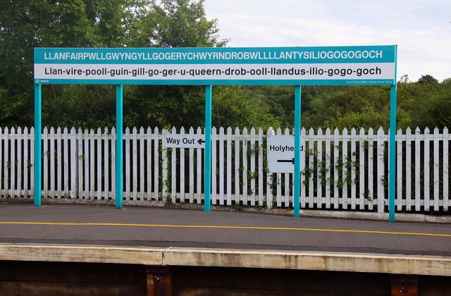
Llanfairpwllgwyngyllgogerychwyrndrobwllllantysiliogogogoch
 Map © Crown Copyright")
TIP: Click the map for more Large scale mapping
- Grid Square
- SH5271, 270 images (more nearby 🔍)
- Photographer
- Steve Daniels (more nearby)
- Date Taken
- Tuesday, 27 July, 2010 (more nearby)
- Submitted
- Monday, 1 November, 2010
- Subject Location
-
OSGB36:
 SH 525 715 [100m precision]
WGS84: 53:13.2457N 4:12.5613W - Camera Location
-
OSGB36: SH 526 715
- View Direction
- SOUTH (about 180 degrees)