2006
NH2129 : Allt Fraoch-choire
taken 18 years ago, 4 km SW of Liatrie, Highland, Scotland
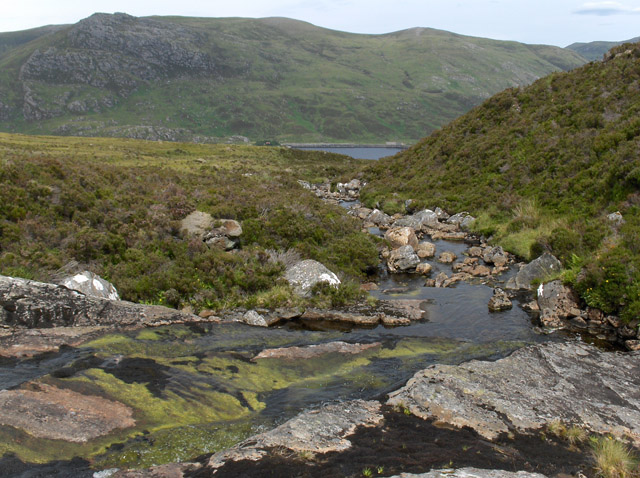
Allt Fraoch-choire
Burn flowing east from Toll Creagach. Creag Feusag is seen across Loch Mullardoch.
 Map © Crown Copyright")
TIP: Click the map for more Large scale mapping
- Grid Square
- NH2129 (more nearby 🔍)
- Photographer
- Andrew Smith (more nearby)
- Date Taken
- Tuesday, 25 July, 2006 (more nearby)
- Submitted
- Friday, 4 August, 2006
- Subject Location
-
OSGB36:
 NH 214 296 [100m precision]
WGS84: 57:19.3125N 4:58.0669W - View Direction
- NORTH (about 0 degrees)