2010
TQ3478 : Roseberry Street
taken 13 years ago, near to Bermondsey, Southwark, England
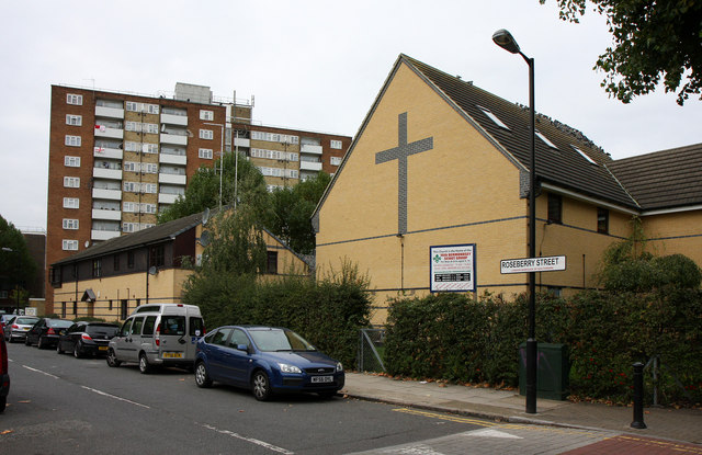
Roseberry Street
Seen from the junction with Galleywall Road. On the right is The Manor Methodist Church, home of the 16th Bermondsey Scouts.
 Map © Crown Copyright")
TIP: Click the map for more Large scale mapping
- Grid Square
- TQ3478, 211 images (more nearby 🔍)
- Photographer
- Martin Addison (more nearby)
- Date Taken
- Friday, 22 October, 2010 (more nearby)
- Submitted
- Sunday, 7 November, 2010
- Subject Location
-
OSGB36:
 TQ 347 787 [100m precision]
WGS84: 51:29.4774N 0:3.6356W - Camera Location
-
OSGB36: TQ 347 787
- View Direction
- West-northwest (about 292 degrees)