2010
TM2685 : Stony Lane, Alburgh
taken 13 years ago, near to Piccadilly Corner, Norfolk, England
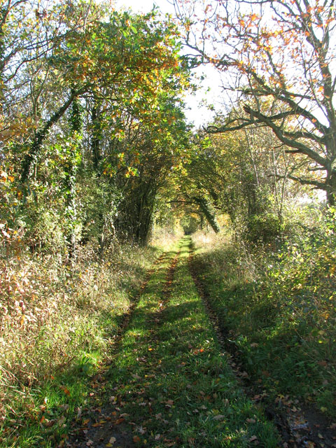
Stony Lane, Alburgh
The track turns off Low Ditch Road, leading to Broadwash Farm further to the north-east.
 Map © Crown Copyright")
TIP: Click the map for more Large scale mapping
- Grid Square
- TM2685, 21 images (more nearby 🔍)
- Photographer
- Evelyn Simak (more nearby)
- Date Taken
- Sunday, 7 November, 2010 (more nearby)
- Submitted
- Monday, 8 November, 2010
- Subject Location
-
OSGB36:
 TM 265 859 [100m precision]
WGS84: 52:25.4587N 1:19.8179E - Camera Location
-
OSGB36: TM 264 859
- View Direction
- Southeast (about 135 degrees)