2010
TM1184 : The Downs (farmhouse)
taken 13 years ago, near to Winfarthing, Norfolk, England
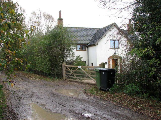
The Downs (farmhouse)
 Map © Crown Copyright")
TIP: Click the map for more Large scale mapping
- Grid Square
- TM1184, 14 images (more nearby 🔍)
- Photographer
- Evelyn Simak (more nearby)
- Date Taken
- Friday, 12 November, 2010 (more nearby)
- Submitted
- Friday, 12 November, 2010
- Subject Location
-
OSGB36:
 TM 114 848 [100m precision]
WGS84: 52:25.2658N 1:6.5022E - Camera Location
-
OSGB36: TM 115 849
- View Direction
- Southwest (about 225 degrees)