2004
TQ9017 : A259 at Winchelsea
taken 20 years ago, near to Winchelsea, East Sussex, England
A259 at Winchelsea
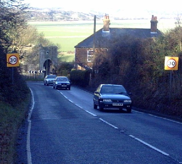
The A259 used to go right through Winchelsea itself, a place reputed to be England's smallest town and perhaps even England's oldest new town, laid out in a grid pattern in the fourteenth century. Today the trunk road descends steeply to the stone 'Land Gate' - the slope shown here, and presents the driver with a dramatic hairpin-bend at the bottom. The valley in the background is that of the River Brede.
 Map © Crown Copyright")
TIP: Click the map for more Large scale mapping
- Grid Square
- TQ9017, 535 images (more nearby 🔍)
- Photographer
- Adam Colton (more nearby)
- Date Taken
- 2004 (more nearby)
- Submitted
- Sunday, 26 June, 2005
- Subject Location
-
OSGB36:
 TQ 9036 1760 [10m precision]
WGS84: 50:55.5865N 0:42.4398E - Camera Location
-
OSGB36: TQ 9035 1757
- View Direction
- North-northeast (about 22 degrees)