2010
NY6472 : Middle Lair
taken 13 years ago, 4 km SW of Butterburn, Cumbria, England
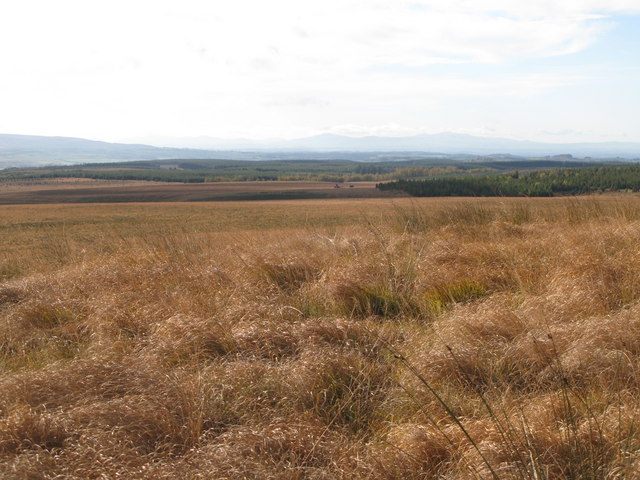
Middle Lair
 Map © Crown Copyright")
TIP: Click the map for more Large scale mapping
- Grid Square
- NY6472, 15 images (more nearby 🔍)
- Photographer
- Mike Quinn (more nearby)
- Date Taken
- Sunday, 24 October, 2010 (more nearby)
- Submitted
- Tuesday, 16 November, 2010
- Subject Location
-
OSGB36:
 NY 640 720 [100m precision]
WGS84: 55:2.4827N 2:33.8739W - Camera Location
-
OSGB36: NY 642 722
- View Direction
- Southwest (about 225 degrees)