2006
NB3119 : Ruined Croft at Tabost
taken 18 years ago, near to Habost, Isle of Lewis And Harris, Na h-Eileanan an Iar, Scotland
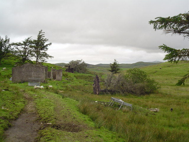
Ruined Croft at Tabost
A ruined shell of a croft house stands on a croft in Habost. The massive uprooted trees are a clue to the harsh weather experienced in the area.
 Map © Crown Copyright")
TIP: Click the map for more Large scale mapping
- Grid Square
- NB3119, 2 images (more nearby 🔍)
- Photographer
- Donald Lawson (more nearby)
- Date Taken
- Saturday, 5 August, 2006 (more nearby)
- Submitted
- Tuesday, 8 August, 2006
- Subject Location
-
OSGB36:
 NB 319 196 [100m precision]
WGS84: 58:5.0409N 6:32.9992W - Camera Location
-
OSGB36: NB 319 195
- View Direction
- North-northwest (about 337 degrees)