2010
R2665 : Track to Knockalehid
taken 14 years ago, 3 km from Ballynacally, Co Clare, Ireland
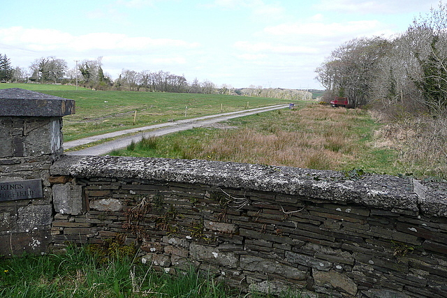
Track to Knockalehid
The map shows the name Knockalehid. The gateway has the name Kings Annefield. Either way, it leads to an unseen house or farm.
Loading map... (JavaScript required)
- Grid Square
- R2665, 2 images (more nearby 🔍)
- Photographer
- Graham Horn (more nearby)
- Date Taken
- Tuesday, 20 April, 2010 (more nearby)
- Submitted
- Friday, 3 December, 2010
- Subject Location
-
Irish:
 R 262 657 [100m precision]
WGS84: 52:44.2627N 9:5.6005W - Camera Location
-
Irish: R 261 656
- View Direction
- North-northeast (about 22 degrees)