2005
TL8662 : Sicklesmere Road (A134), Bury St Edmunds
taken 19 years ago, near to Nowton, Suffolk, England
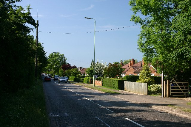
Sicklesmere Road (A134), Bury St Edmunds
Looking north east from the outer limit of the town
 Map © Crown Copyright")
TIP: Click the map for more Large scale mapping
- Grid Square
- TL8662, 27 images (more nearby 🔍)
- Photographer
- Bob Jones (more nearby)
- Date Taken
- Monday, 27 June, 2005 (more nearby)
- Submitted
- Monday, 27 June, 2005
- Subject Location
-
OSGB36:
 TL 866 624 [100m precision]
WGS84: 52:13.6907N 0:43.8470E