2011
TA3117 : Walking west along the flood bank
taken 13 years ago, 4 km SW of Welwick, East Riding of Yorkshire, England
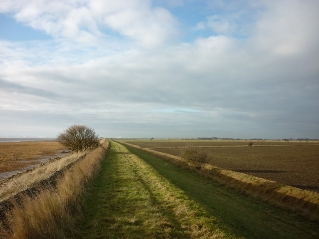
Walking west along the flood bank
You can now walk for miles with the River Humber on the left.
 Map © Crown Copyright")
TIP: Click the map for more Large scale mapping
- Grid Square
- TA3117, 5 images (more nearby 🔍)
- Photographer
- Ian S (more nearby)
- Date Taken
- Sunday, 2 January, 2011 (more nearby)
- Submitted
- Monday, 3 January, 2011
- Subject Location
-
OSGB36:
 TA 314 178 [100m precision]
WGS84: 53:38.4180N 0:0.7898W - Camera Location
-
OSGB36: TA 315 178
- View Direction
- West-southwest (about 247 degrees)