2011
TL5060 : Low Fen Drove Way from the A14 bridge
taken 13 years ago, near to Fen Ditton, Cambridgeshire, England
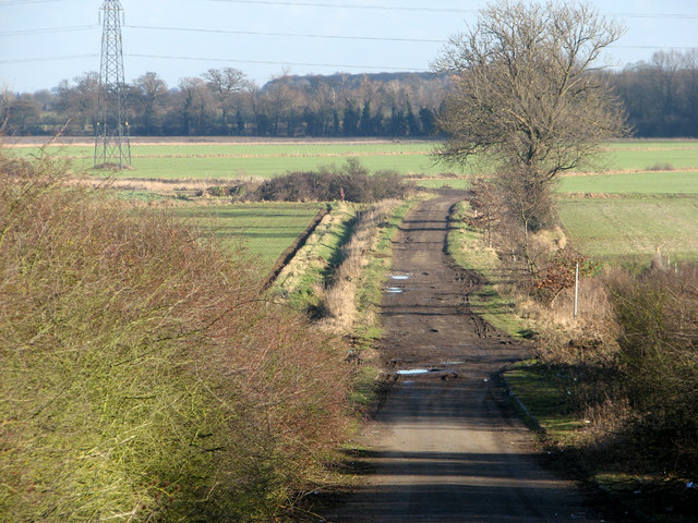
Low Fen Drove Way from the A14 bridge
This byway, a roundabout route from Fen Ditton to Horningsea by way of the splendidly-named Honey Hill (dead flat) and Snout Corner, begins as a metalled road over the A14 but quickly becomes a rutted and muddy cart track.
 Map © Crown Copyright")
TIP: Click the map for more Large scale mapping
- Grid Square
- TL5060, 42 images (more nearby 🔍)
- Photographer
- John Sutton (more nearby)
- Date Taken
- Wednesday, 5 January, 2011 (more nearby)
- Submitted
- Friday, 7 January, 2011
- Subject Location
-
OSGB36:
 TL 501 601 [100m precision]
WGS84: 52:13.1562N 0:11.8293E - Camera Location
-
OSGB36: TL 499 599
- View Direction
- Northeast (about 45 degrees)