2004
SY8590 : Bere Heath
taken 19 years ago, near to Lane End, Dorset, England
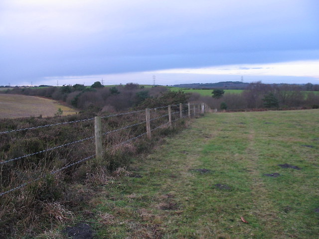
Bere Heath
A view of Bere Heath alongside woodland used by the Ministry of Defence.
 Map © Crown Copyright")
TIP: Click the map for more Large scale mapping
- Grid Square
- SY8590, 7 images (more nearby 🔍)
- Photographer
- Chris Collard (more nearby)
- Date Taken
- Saturday, 25 December, 2004 (more nearby)
- Submitted
- Wednesday, 29 June, 2005
- Subject Location
-
OSGB36:
 SY 854 904 [100m precision]
WGS84: 50:42.7827N 2:12.4892W