2005
J3145 : Slieve Croob emergency service towers
taken 19 years ago, 4 km SE of Finnis, Co Down, Northern Ireland
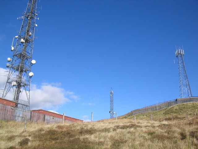
Slieve Croob emergency service towers
Loading map... (JavaScript required)
- Grid Square
- J3145, 51 images (more nearby 🔍)
- Photographer
- Peter Lyons (more nearby)
- Date Taken
- October 2005 (more nearby)
- Submitted
- Monday, 21 August, 2006
- Subject Location
-
Irish:
 J 317 454 [100m precision]
WGS84: 54:20.4187N 5:58.5461W - View Direction
- North-northeast (about 22 degrees)