2006
TM1193 : Field by Chapel Lane, Bunwell
taken 18 years ago, near to Bunwell, Norfolk, England
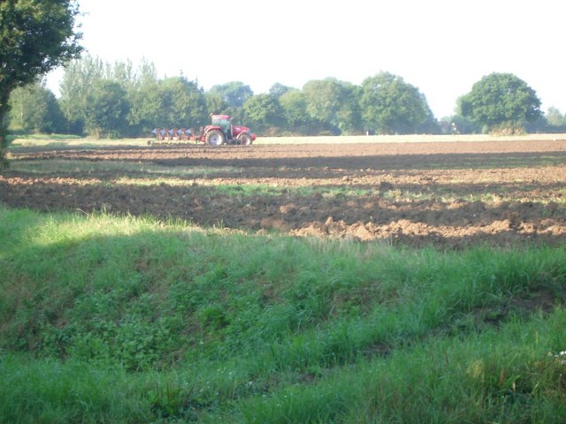
Field by Chapel Lane, Bunwell
 Map © Crown Copyright")
TIP: Click the map for more Large scale mapping
- Grid Square
- TM1193, 46 images (more nearby 🔍)
- Photographer
- Andrew Longton (more nearby)
- Date Taken
- Saturday, 19 August, 2006 (more nearby)
- Submitted
- Tuesday, 22 August, 2006
- Subject Location
-
OSGB36:
 TM 117 931 [100m precision]
WGS84: 52:29.6821N 1:7.0259E - View Direction
- South-southwest (about 202 degrees)