2006
SW8570 : Harvested corn field, Pentire farm, St Eval
taken 18 years ago, near to Engollan, Cornwall, England
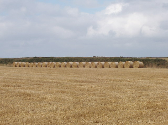
Harvested corn field, Pentire farm, St Eval
Pentire farm is a National Trust property, with permissive paths from a small car park to the coast. One runs down to Porth Mear; the other runs along the edge of this field and to Pentire Steps.
 Map © Crown Copyright")
TIP: Click the map for more Large scale mapping
- Grid Square
- SW8570, 11 images (more nearby 🔍)
- Photographer
- David Hawgood (more nearby)
- Date Taken
- Sunday, 13 August, 2006 (more nearby)
- Submitted
- Wednesday, 23 August, 2006
- Subject Location
-
OSGB36:
 SW 851 706 [100m precision]
WGS84: 50:29.7412N 5:1.8834W - View Direction
- WEST (about 270 degrees)