2011
NZ0870 : Pillbox
taken 13 years ago, near to Stamfordham, Northumberland, England
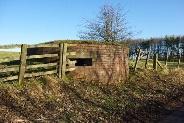
Pillbox
Pillbox on the road to Stob Hill, part of the defences of RAF Ouston during World War Two
 Map © Crown Copyright")
TIP: Click the map for more Large scale mapping
- Grid Square
- NZ0870, 18 images (more nearby 🔍)
- Photographer
- peter maddison (more nearby)
- Date Taken
- Tuesday, 1 February, 2011 (more nearby)
- Submitted
- Wednesday, 2 February, 2011
- Subject Location
-
OSGB36:
 NZ 081 704 [100m precision]
WGS84: 55:1.7271N 1:52.4893W - Camera Location
-
OSGB36: NZ 081 704
- View Direction
- NORTH (about 0 degrees)