2011
TA1767 : The New Crown, Quay Road, Bridlington
taken 13 years ago, near to Bridlington, East Riding of Yorkshire, England
This is 1 of 4 images, with title The New Crown, Quay Road, Bridlington in this square
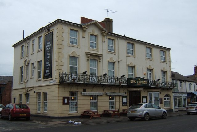
The New Crown, Quay Road, Bridlington
 Map © Crown Copyright")
TIP: Click the map for more Large scale mapping
- Grid Square
- TA1767, 1495 images (more nearby 🔍)
- Photographer
- Stefan De Wit (more nearby)
- Date Taken
- Saturday, 5 February, 2011 (more nearby)
- Submitted
- Saturday, 5 February, 2011
- Subject Location
-
OSGB36:
 TA 177 671 [100m precision]
WGS84: 54:5.2195N 0:12.1176W - Camera Location
-
OSGB36: TA 177 671
- View Direction
- East-southeast (about 112 degrees)