2011
NZ0367 : B6321 north-east of Corbridge
taken 13 years ago, 3 km from Aydon, Northumberland, England
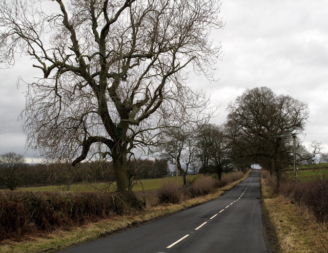
B6321 north-east of Corbridge
A straight stretch of road between the B6318 'Military Road' and Corbridge.
 Map © Crown Copyright")
TIP: Click the map for more Large scale mapping
- Grid Square
- NZ0367, 17 images (more nearby 🔍)
- Photographer
- Trevor Littlewood (more nearby)
- Date Taken
- Saturday, 5 February, 2011 (more nearby)
- Submitted
- Sunday, 6 February, 2011
- Subject Location
-
OSGB36:
 NZ 030 678 [100m precision]
WGS84: 55:0.3232N 1:57.2591W - Camera Location
-
OSGB36: NZ 031 679
- View Direction
- Southwest (about 225 degrees)