2011
TQ3854 : Oxted Downs
taken 13 years ago, near to Limpsfield, Surrey, England
This is 1 of 10 images, with title Oxted Downs in this square
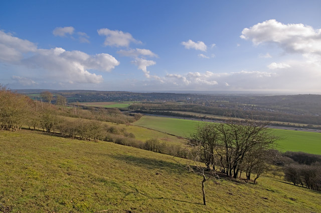
Oxted Downs
Looking down the National Trust owned Oxted Downs, with the M25 running across the middle of the photo.
 Map © Crown Copyright")
TIP: Click the map for more Large scale mapping
- Grid Square
- TQ3854, 106 images (more nearby 🔍)
- Photographer
- Ian Capper (more nearby)
- Date Taken
- Saturday, 12 February, 2011 (more nearby)
- Submitted
- Sunday, 13 February, 2011
- Subject Location
-
OSGB36:
 TQ 388 544 [100m precision]
WGS84: 51:16.3568N 0:0.6793W - Camera Location
-
OSGB36: TQ 388 545
- View Direction
- Southeast (about 135 degrees)