2006
NH1197 : Slopes of Cnoc Breac
taken 18 years ago, near to Ardmair, Highland, Scotland
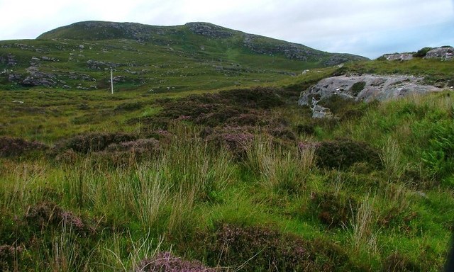
Slopes of Cnoc Breac
Taken from about 50m on the main road. The slopes up to Cnoc Breac at 243m is peat moorland and rock.
 Map © Crown Copyright")
TIP: Click the map for more Large scale mapping
- Grid Square
- NH1197 (more nearby 🔍)
- Photographer
- Mick Garratt (more nearby)
- Date Taken
- Monday, 21 August, 2006 (more nearby)
- Submitted
- Monday, 28 August, 2006
- Subject Location
-
OSGB36:
 NH 110 971 [100m precision]
WGS84: 57:55.3840N 5:11.5760W - Camera Location
-
OSGB36: NH 110 971
- View Direction
- Northeast (about 45 degrees)