2006
SU4209 : Eastern Docks, Southampton
taken 18 years ago, near to Woolston, Southampton, England
This is 1 of 4 images, with title Eastern Docks, Southampton in this square
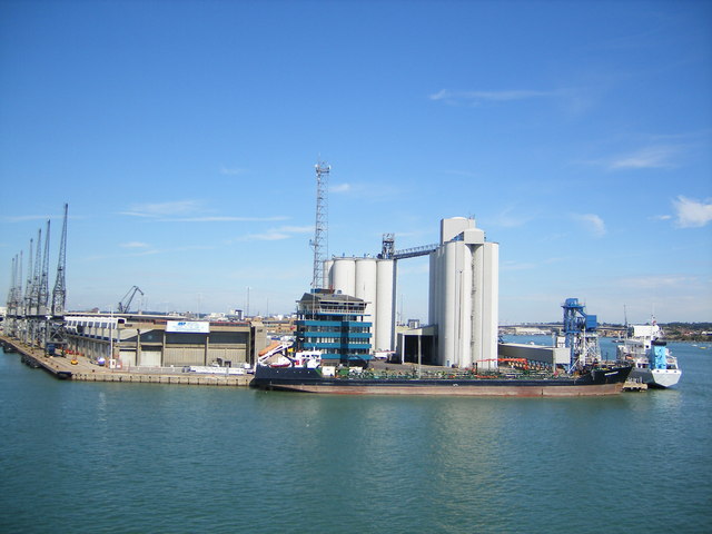
Eastern Docks, Southampton
taken from ferry on Southampton Water
 Map © Crown Copyright")
TIP: Click the map for more Large scale mapping
- Grid Square
- SU4209, 213 images (more nearby 🔍)
- Photographer
- Ray Stanton (more nearby)
- Date Taken
- Friday, 25 August, 2006 (more nearby)
- Submitted
- Tuesday, 29 August, 2006
- Subject Location
-
OSGB36:
 SU 427 094 [100m precision]
WGS84: 50:52.9512N 1:23.6635W - Camera Location
-
OSGB36: SU 426 093
- View Direction
- North-northeast (about 22 degrees)