2011
TF6111 : Train near St Peter's Road, Watlington
taken 13 years ago, near to Watlington, Norfolk, England
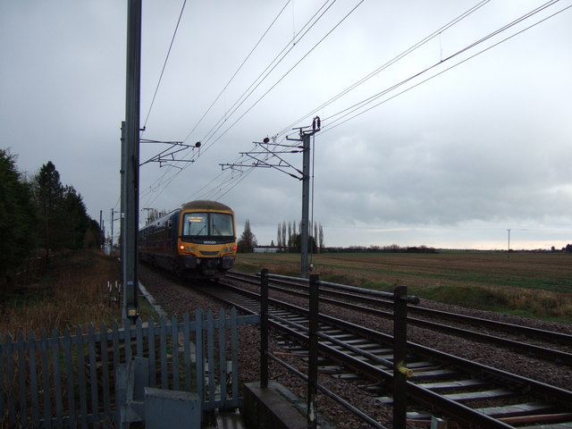
Train near St Peter's Road, Watlington
According to Ben Harris the official name of this level crossing is Watlington Road even though it crosses St Peter's Road. A confusing village as Magdalen Road signal box on the next crossing along is on Station road see Link
 Map © Crown Copyright")
TIP: Click the map for more Large scale mapping
- Grid Square
- TF6111, 92 images (more nearby 🔍)
- Photographer
- Richard Humphrey (more nearby)
- Date Taken
- Saturday, 26 February, 2011 (more nearby)
- Submitted
- Sunday, 27 February, 2011
- Subject Location
-
OSGB36:
 TF 613 114 [100m precision]
WGS84: 52:40.5885N 0:23.0630E - Camera Location
-
OSGB36: TF 613 114
- View Direction
- South-southwest (about 202 degrees)